Walking the Nakasendo

Today was our big planned walking day. We’re in Nakatsugawa because it provides access to a popular part of the Nakasendo, one of the Edo period walking trails from Tokyo to Kyoto.

We got up and had a quick breakfast, then departed to make the train leaving for Nagiso at 08:14. Yesterday when we arrived at Nakatsugawa station, I’d checked the timetable for trains leaving for Nagiso in the morning. Reading the poster I thought it said that there were trains departing at 08:14 and then 10:00, with no trains in between except for expresses that required reserved seating and significant extra cost. I asked a staff member at the station and her confirmed this. So rather than wait until 10:00, we made sure to get the 08:14 train.

We tapped our Apple wallet Suica cards on the station gates, climbed over the stairway to the other platform, and boarded the two-carriage train that was waiting there to depart. We had several minutes to wait, and it was lucky we did, because there was an automated announcement on the train in Japanese and then English, saying that Suica cards were not accepted beyond Nakatsugawa, and anyone on the train needed to pay the driver on the way off the train. We could do that, but we needed to cancel our Suica taps somehow, lest the system get confused and end up charging us some wrong amount, or not letting us on our next train. So I ran back over the stairs with both our phones and spoke to a staff member, who nodded knowingly and told me to tap the phones on a pad there, which he programmed to cancel our previous tap-ons. He then said I should buy tickets to Nagiso, which I did, before running back over the stairs to get back on the train before it departed. It wasn’t actually close, as I made it with 2 or 3 minutes to spare.

The train took us up the river valley into the mountains, into countryside a lot wilder and less settled than any we’d seen on the way to Nakatsugawa. The rocky river and the forested mountains on both sides were beautiful. We arrived at Nagiso at 08:30 and alighted the train with about 6 or 7 other passengers. It’s obviously not a heavily travelled line.

We left the station to take a brief look around the tiny village of Nagiso, and a small cafe was just opening. We went in, but the man had retired to a back room and I had to call out “sumimasen” loudly a couple of times before he heard and bustled out. My wife ordered her coffee to go and we set out.

Right near the station we saw a sign pointing the way to the Nakasendo, leading us over the train line on a small pedestrian bridge, and then along the road above for a bit. Soon the path left the road and we were walking along narrow laneways with a few scattered houses. There was a little car traffic, but not much, and the path became narrower and less vehicle-friendly. We crossed a few small bridges and the scenery became pleasantly rural, but not really wilderness.

A few kilometres down the path we reached Tsumago-juku, the first of the historic post towns along the route where travellers could stop to rest. This was essentially an old village laid out along the trail, with well-preserved historic wooden buildings. Some of them were private residences, but many had been turned into shops or cafes or restaurants to serve modern customers. It was very pretty to walk along, and not at all crowded, with just a few tourists walking around. It may have been too early, as many of the shops hadn’t opened yet.

Tsumago-juku, Nakasendo trail

Continuing along the Nakasendo, we soon found ourselves walking along a foot trail uphill through thick pine forest. It was really beautiful, with a feeling like Sam and Frodo walking across parts of Middle-earth. Occasionally the path popped out at a small cluster of houses or a lone building, and some of these offered refreshments. There were also several toilet buildings along the way. But the main next goal was Magome-juku, the next post town along the route. This was up the mountain and over Magome Pass. There was a road running up to the pass as well, but the Nakasendo mostly followed a foot route running parallel, occasionally popping out to cross the road or go along it briefly before heading back into the forest. But at one point near the Otaki-Metaki Waterfalls there was a detour due to the Nakasendo path being closed because of some sort of small disaster, presumably a land slip or rockfall or something. So we had to detour past the waterfalls – which was in a sense fortunate otherwise we might not have seen them at all, and they were worth seeing. The detour took us along the main road for a few hundred metres before we rejoined the Nakasendo route through the forest.

Nakasendo trail

The forest was a mixture of pines with large stands of giant bamboo in places, and very beautiful. The going got tough as we ascended to Magome Pass, with the trail becoming steeper. We started to notice people walking the opposite direction, heading to Tsumago-juku. They seemed happy to be walking downhill while we puffed slowly past them. Eventually we topped out at Magome Pass, 790 metres above sea level. Nagiso, where we’d begun walking, is at 411 metres. From here it was all downhill! Almost.

We walked down and it was a bit under an hour to Magome-juku. By now it was lunch time and we stopped in at a small place that offered simple soba and udon meals. We both had cold noodles with wild vegetables, my wife getting soba while I had udon. We wanted cold instead of hot because it was a hot day and the sun had come out, and it was also very humid, so we’d become very hot walking. Resting in the shade of the restaurant with a fan blowing cool air was a pleasant relief. We also tried a goheimochi coated with a sauce of sesame, walnuts, soy sauce, sugar, and sweet sake. These were really delicious, with the nutty flavour making them much better than mitarashi dango which we’d had at Nishiki Market in Kyoto.

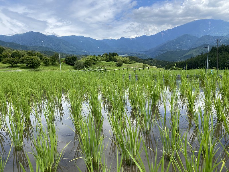
After eating we resumed our walk. Most people get a bus to or from Magome-juku, but we had decided to walk all the way back to Nakatsugawa. The Nakasendo continued, through a rural area full of houses with vegetable gardens, rice paddies, and we even saw some grape vines. This was a nice countryside to walk through, and I’m very glad we did it.

Nakasendo trail

Eventually we reached built up areas again, part of which was the next Nakasendo post town of Ochiai-juku. This was not as preserved as the previous two, with many of the original buildings being redeveloped into more modern houses. The honjin or government inn was preserved there, but closed for the public. We continued on and stopped at the nearby Genky Ochiai supermarket/drug store to buy some cold drinks: ginger ale for me and green tea for my wife. We drank sitting inside the lovely air conditioning before setting out for the final leg back into Nakatsugawa.

This involved walking uphill over a couple of large hills and back down again, since we took some quiet back streets to avoid the bust main road that skirted around the base of the hills. But it was good that we did this because we passed signs indicating that this was still the original Nakasendo route. It took us down a final steep hill into Nakatsugawa, just a couple of blocks from our hotel.

We stopped and rested for a bit, and I had a cold shower to wash off the walking grime and cool down, before dressing in fresh clothes for dinner. I tried looking for any restaurants nearby that might have vegetarian food, but we decided to just go to the nearby shopping mall and try whatever they had there. It was a small mall, and we ended up just getting some take-way sushi and taking it up to eat at the food court tables. After that we had some ice cream at a Baskin Robins. This was our first non-Japanese food of the trip, but we both felt like it after the hard day of walking.

We’d walked 21.5 kilometres, climbed a total of 683 metres of elevation, and I walked 32,150 steps. Phew!

A really big tourist walk

Today I had two ethics classes in the morning, including the first lesson on Good and Evil with the older kids.

After that I had a busy afternoon planned. A guy who I know via an Internet group is visiting Sydney, with his wife and university-aged son. The son is studying in Melbourne and his parents came over there to visit, and now they’re having a few days here in Sydney before heading home. We arranged to meet at a train station on the north side of the Harbour, and I led them on a walk around the shore, through areas of bushland, historical sites, and lookout spots.

Balls Head Lookout

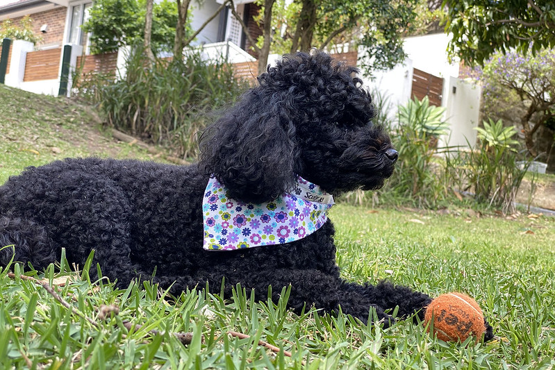
Scully came with us!
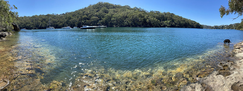
Scully at Balls Head Lookout

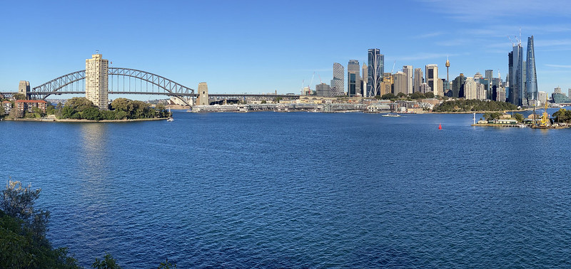
We stopped for a late lunch at a cafe along the way, and then continued until we reached the base of the Harbour Bridge and some of the classic tourist views across the water to the city.

Approaching the view

The view

I left them there and walked back home with Scully. By the time I got home, I’d covered almost 15 km! Scully is so exhausted. She had dinner and immediately fell into a deep sleep on the sofa.

New content today:

North Arm walk

Being my wife’s mid-week day off, we decided too take advantage today and go do a bushwalk. We took Scully and drove over to Castle Cove, a suburb about 10 km north of the city centre. Here we stopped first at a bakery to grab some lunch and cold water. Then we moved the car a few blocks to a spot where we could begin a walk that would take us on a loop down a long street, and then into the North Arm Walking Track, a bushwalk running along the shore of Middle Harbour back to where we’d left the car. There’s a better map of the walk here.

North Arm Walking Tack

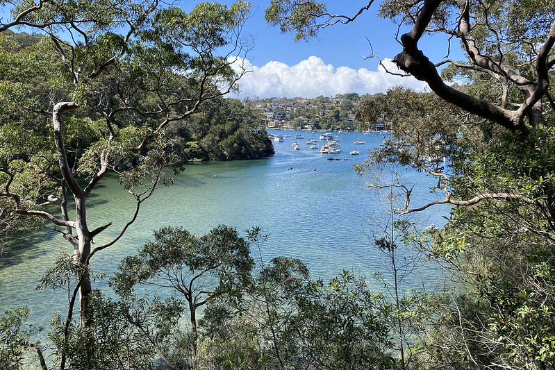
The first part of the track has good views of Middle Harbour.

North Arm Walking Tack

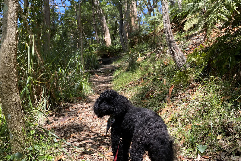
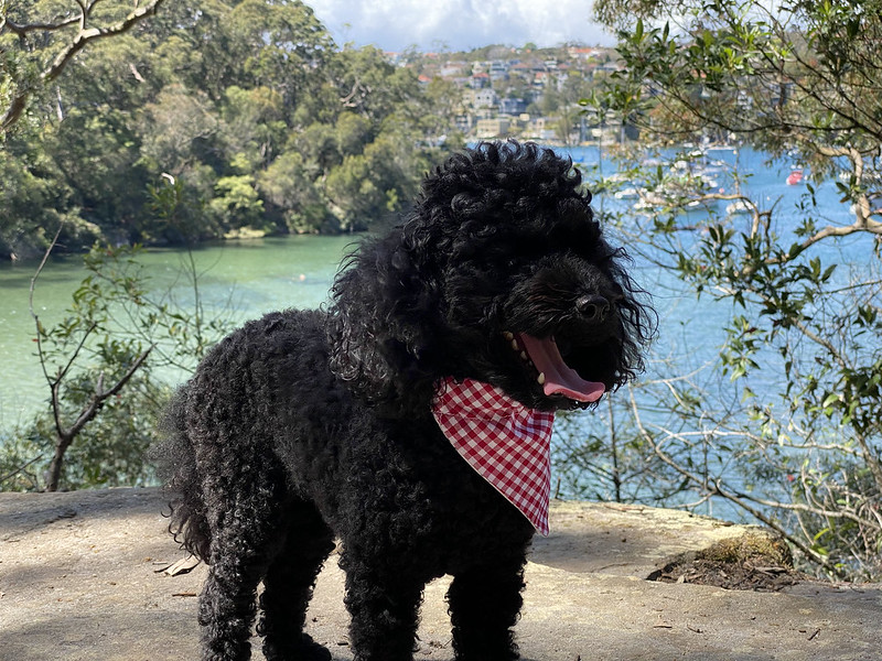
Scully enjoyed it too.

North Arm Walking Tack

North Arm Walking Tack

That’s my wife walking ahead. The whole way along this track we only met one other person coming the other way. So it was nice and peaceful. Well, except for the loud drone of the cicadas!

North Arm Walking Tack

Scully having more fun along the way.

North Arm Walking Tack

North Arm Walking Tack

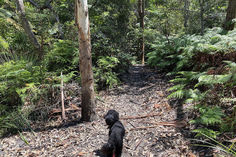
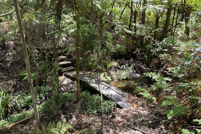
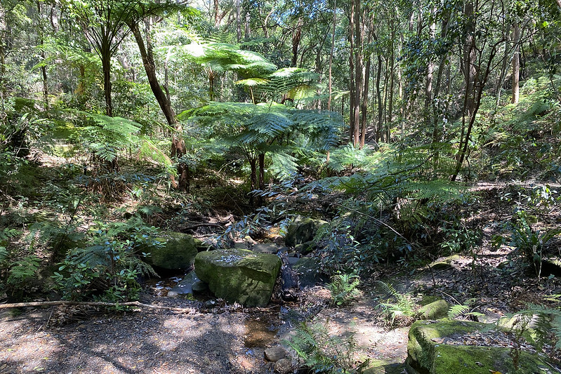
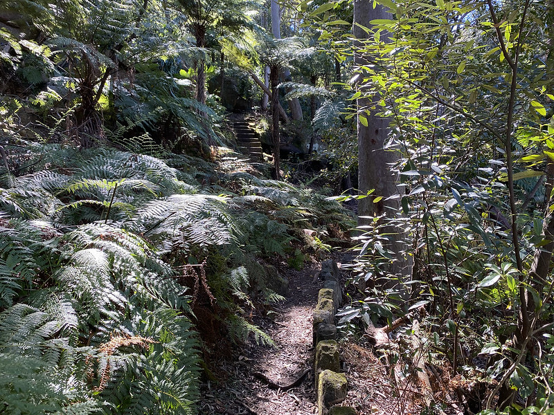
Towards the end the path went more inland, among fern forests with small creeks draining down to the harbour.

North Arm Walking Tack

North Arm Walking Tack

Scully didn’t appreciate having to walk al the way back uphill to the car.

North Arm Walking Tack

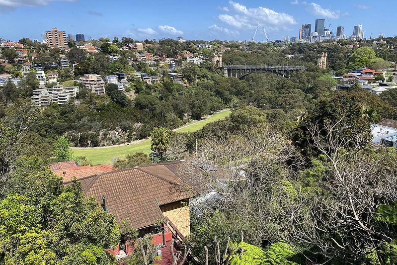
But there were more good views here.

North Arm Walking Tack

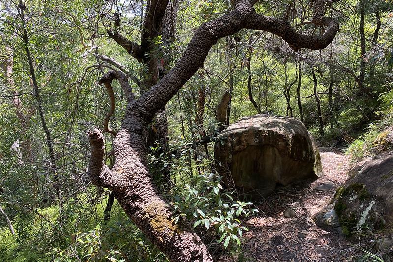
At times on bushwalks like this it feels a bit like you’re a hobbit trekking through Middle-earth.

North Arm Walking Tack

It took us a couple of hours and we were hot and sweaty by the end of it, but it was a good day out. Along the way I stopped at one point to get something scratchy out of my shoe and I noticed a leech on my shoe, so I flicked it off. Then I found one half in my sock, and pulled it out. I didn’t see any more… until I got home and took my shoes and socks off. There was a leech attached to my ankle. So I had to pull it off, sterilise the wound, and bandage it. I also carefully checked Scully for any leeches or ticks.

Add to that a 2.5k run which I did this morning, and three ethics classes in a row in the evening, and I’m pretty worn out!

New content today:

Pastry crawl

Today was Good Friday, a major public holiday. We decided to go for a big trip into the city, and grab something nice to eat at a French patisserie in there in The Rocks. We walked down to the nearest ferry wharf and got on a ferry for the city. We had Scully in her dog backpack, which we thought was adequate for the rule that dogs must be confined. But when we disembarked at Circular Quay we got rounded on by a staff member who told us the backpack wasn’t good enough and dogs needed to be inside a closed container.

Circular Quay was busy! There were tourists around! There was a huge queue for the ferry to Taronga Zoo – it must have been several hundred people. It snaked all the way around from Wharf 4 to the Museum of Contemporary Art. I guess all the tourists got up this morning and realised it was a public holidays and everything was closed except the zoo.

The Rocks was busy too, with all the food places open and people crowding in for lunch. We managed to get a table at the patisserie and had some lunch.

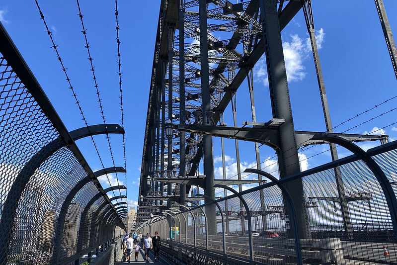
We decided to walk back home over the Harbour Bridge, instead of risking the ferry back and being denied entry.

Harbour Bridge crossing

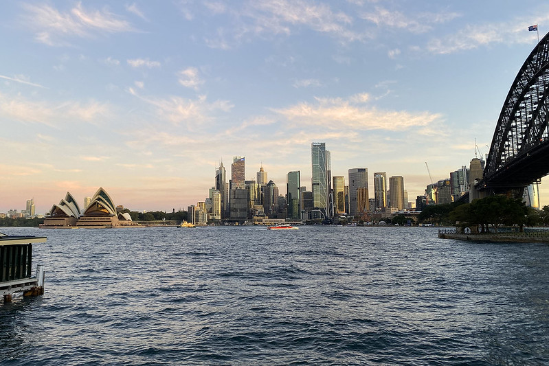
It was a lovely autumn day. Sunny, with scattered cloud, not too hot, with a breeze, and nice for walking around.

Harbour and Opera House

We also got a good view from Lavender Bay while walking back home too.

From Lavender Bay

For dinner tonight I made pizza, and I made some extra dough with which I made bread sticks, rolled in sesame seeds.

New content today:

A long walk and a lie in the grass

This morning I took the opportunity to go for a run. I haven’t done any for a while, so I started easy and went at a slower pace. I started thinking I’d do 2.5 km, but I decided to extend it a bit further, and ended up doing 3.2 km. It felt okay but I was starting to wane near the end. I want to build back up to 5k again if I can.

I did some comics stuff in the morning, then went for a long walk over to the new bakery I discovered yesterday, to try it out for lunch. On the way I took a photo of St Leonard’s Catholic Church, which is a landmark visible across much of the surrounding area with its tall copper spire.

St Leonard's Church, Naremburn

When I got there and went inside, it was very weird – they had several of exactly the same things as the Grumpy Baker over at Waverton. The pie selection was identical, and they had Nutella babka – the only place I’ve ever seen that before is at Grumpy Baker. If I didn’t know better, I’d believe that they were going over to Grumpy Baker first thing in the morning and buying a bunch of stuff to resell under the guise of a different bakery. Anyway, I tried a pie and a sausage roll. And they did have some things that Grumpy Baker doesn’t make, including vanilla slices, so I had one of those too. I’ll add the review to Snot Block & Roll in a day or two when I get time.

On the way home I picked up Scully from my wife’s work, and took her home via the slopey park where she does ball chasing and fetching. We had a bit of a play with the ball before she got tired and decided to have a rest. I joined her for a lie down in the grass too, and we both just laid there for a while. Nice and peaceful.

Scully with ball

But on the way there we passed the brand new pedestrian island in the middle of the road. It’s not a main road, but it does get a lot of traffic. The council recently widened the pedestrian refuge in the middle and installed safety barriers. But today…

Someone didn't

Someone had ploughed right through the “Keep Left” sign, the first pedestrian safety barrier, and half-removed the second barrier on the far side. I really hope nobody was standing there when it happened, or they would have been severely injured, if not killed. I think it might have happened while I was out getting lunch too, because I didn’t see it messed up like this when I passed it on my way out, and neither did my wife on her way to work this morning, though she did see it on the way home.

New content today:

Yesterday’s walk, and more walking

I have photos from yesterday’s walk, which was along a creek known as Tannery Creek, in a suburb out towards our 5 km COVID restriction limit. I’m guessing the creek was named for historical tanneries that used to be in the area, though if so they are long gone.

Tannery Creek Walk

This walk started in a park by the harbour shore, where there was a boat ramp, and thus lots of cars with boat trailers taking up all the parking spots. We had to park out on the street and up a bit from where we panned to start walking. Being a public holiday, there were a lot of people out for picnics and boating outings. Hopefully in COVID-compliant groups of five or less.

Tannery Creek Walk

The walk started as a broad flat path of firm packed leaves, but quickly narrowed to a dirt and rock track through close trees and bushes.

Tannery Creek Walk

We chose a branching loop that took us up the hill away from the creek for a while, into drier terrain. This looped back around on another path before rejoining the path that ran along near the creek bed.

Tannery Creek Walk

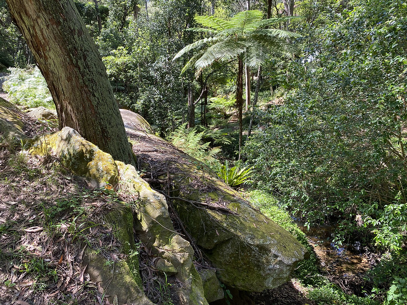
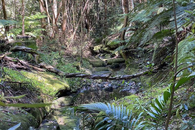
Down by the creek it was a lot wetter and cooler and shadier, with large ferns and mossy sandstone rocks.

Tannery Creek Walk

We walked upstream, having realised from doing several of these walks lately that it’s nicer to walk upstream in the bush, and then downhill back to the car, rather than going down the creek and having to slog uphill back to the car along hot streets.

Tannery Creek Walk

It was another very nice walk, and we spotted plenty of birds, including a white-faced heron towards the top end of the creek. I didn’t expect to see one in dense forest – they usually stick to coastal areas or open grass in my experience.

Today I did a couple of walks with Scully while my wife worked at home, and later went out for a practice walk to her dance fitness class venue, which is starting up again next week when our COVID restrictions ease and they can start running the classes again. At lunch time I took Scully past the bakery and picked up a pie for lunch, while this evening I did a loop around some of the local shops.

And most of the rest of the day I worked on the next ethics lesson plan, about buying and selling, and the science lesson that I just had this evening with the girl whose mother wanted her to do some one-on-one classes.

Dinner tonight was a bit more of a success than last night’s. I made pizza dough and topped it with pesto, ricotta, cheese, potato, and fresh rosemary. That turned out pretty good.

New content today:

Wreck Bay Track

This morning I did another exploratory bushwalk with my wife and Scully. Scouting within the 5 km radius of home to find somewhere new, I found the Wreck Bay walking track.

Wreck Bay bushwalk

This is a bush track that skirts around the edge of Northbridge Golf Club, between the lower stretches of the golf course and the waters of Middle Harbour below.

Wreck Bay bushwalk

It’s a lush forest environment, with plenty of ferns and moss. We passed a few tiny creeks and small waterfalls.

Wreck Bay bushwalk

You emerge at various points to views of Middle Harbour.

Nesting rainbow lorikeet

I found a pair of rainbow lorikeets nesting in this tree hollow. There were eggs or babies inside, but I couldn’t get high enough to see or photograph them. But the parents were hanging around to protect them and not flying away, as I got within a metre or so to take this photo.

Wreck Bay bushwalk

This (above) is the small inlet known as Wreck Bay, named for the large shipwreck you can see in the water just above the centre of the image. The dark shadows to the left are the front of the hull, and parts of the rear of the hull can be seen projecting above the water to the right.

Wreck Bay bushwalk

Scully enjoyed the walk too.

Wreck Bay bushwalk

The bushwalk part was at low elevation, close to the water, but towards the end we had to climb uphill. We emerged onto streets and did a loop up the hill, around Northbridge Golf Club, and the downhill on the other side of the golf course back to the car.

Wreck Bay bushwalk

Here’s a view from the top of the golf course. You can see how high up we are now compared to the steep valley. The golf course is on a steep slope, and there’s a lot of downhill and uphill walking when playing it.

Wreck Bay bushwalk

Finally a view over Flat Rock Creek Gully as we walked back down the hill. The walk we did last week was along the course of Flat Rock Creek ending in the park down below (before we walked back home).

After getting home and having some lunch, I spent all afternoon working on slides for the first lesson of my Creative Thinking course, which begins tomorrow. I have them nearly done – just need to think of some good homework tasks for the kids to do before the second lesson.

New content today:

An even longer walk

After yesterday’s short drive to try a new walk, today I led my wife and Scully on a walk starting from home, along a route I discovered last year, along Flat Rock Creek. We walked through familiar streets to the point where we entered the walking/cycle path running along the Warringah Freeway. Here the path splits and a branch heads under the freeway and along the creek route, first as a cycle path, and then it turns into a bushwalk track with steep sections, steps, and stepping stones crossing the creek back and forth. My wife had never walked this way before, and really enjoyed it, with the cool forested creek leading out eventually to the green expanse of Tunks Park, where people were out exercising their dogs.

From there, which is almost at sea level, it was a big walk up the hill to Cammeray and Crows Nest, which is at elevation a bit over 100 metres. By the time we got home, Strava had recorded that we’d walked 9.8 km. It took us 2 hours 45 minutes, including a stop at Cammeray to grab and eat some lunch from the Italian bakery there. When we got back home, Scully, who had walked almost all the way, collapsed and slept for most of the rest of the day!

At home I finished writing a new batch of Irregular Webcomic! scripts. And then I started work on slides for the Creative Thinking course I’m starting soon. At least hopefully starting soon. I got one kid enrolled for the one that was scheduled to start today, but I decided it’s going to be much better with at least two students, so I messaged the parent and said I was rescheduling to start next week, to give more time for other students to enrol. So maybe that will start next week.

And tonight I had two sessions of this weeks ethics class on apologising. One of the interesting questions this week has been asking the kids: If a dog gets in someone’s way and they trip and the person yells at the dog, and the dog looks sad and whimpers, is the dog apologising? A small majority of the kids said no, a dog doesn’t know it’s done anything wrong and can’t apologise, while a bit under half of them said that yes a dog can apologise, and what’s more they definitely know when they’ve done something wrong. Which was a very interesting split of opinions that I wasn’t expecting.

Most of the other questions the kids are more generally in agreement on, except for this one: What would the world be like if nobody ever apologised for anything? Most of the kids said it would be terrible, because people would all be angry at each other all the time and nobody would get along. But 3 or 4 of the kids said that it wouldn’t make any difference, because if nobody ever apologised, everyone would be used to people not apologising, and it wouldn’t bother anyone. I asked them what about things like when you accidentally step on someone’s foot on the bus – if you don’t apologise, would they know that it was an accident, that you didn’t do it intentionally? This made most of them rethink their answers, but one kid doubled down and said that obviously that’d be unintentional, so there’s no need to say anything to let them know you didn’t mean it. 🤔

New content today:

A walk at Riverview

Mostly today I worked on writing Irregular Webcomic! strips. But in the middle of the day I went out with my wife and Scully for another walk within our 5 km radius. We drove over to the suburb of Riverview, which is naturally by the Lane Cove River. Here we did another walk along Tambourine Creek, the same creek we discovered two weeks ago. That time we walked upstream along the eastern bank, in the suburb of Longueville. But there’s a parallel track on the other side of the creek, in Riverview, and today we walked downstream towards the harbour.

Tambourine Bay Track

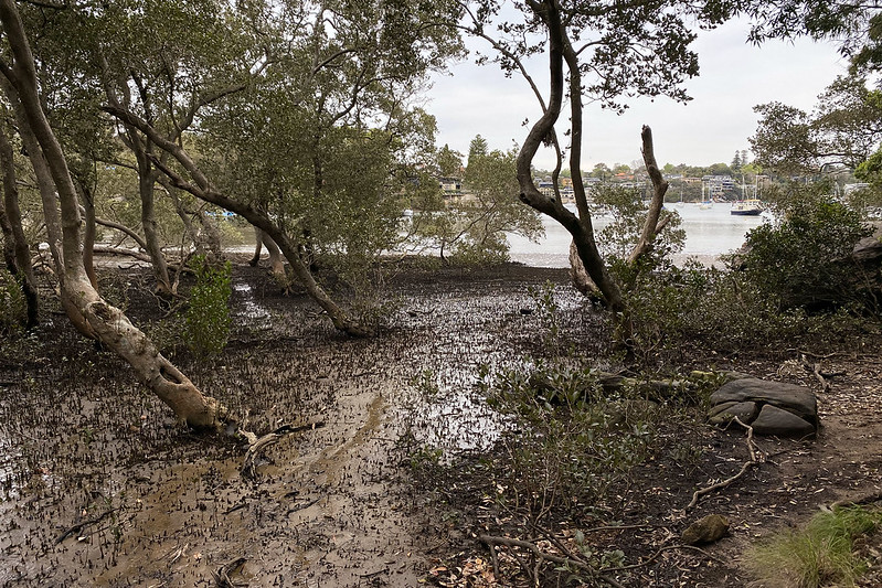
The creek itself looked similar to the photos I posted two weeks ago. But on this side the track went all the way down to the water, where there was a mangrove swamp where the creek emptied into the harbour. The tide was low, so the mangrove mudflats were exposed.

Tambourine Bay Track

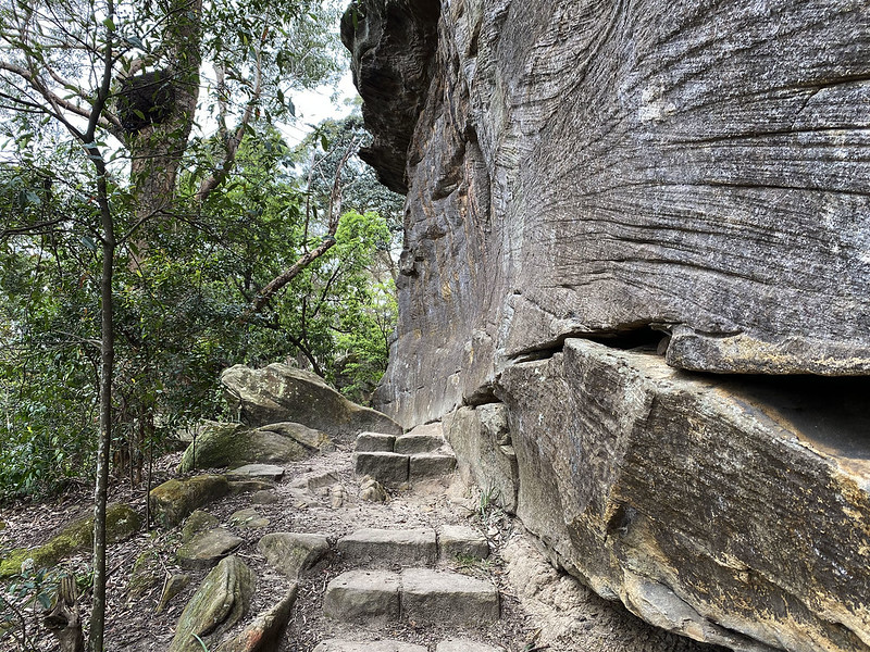
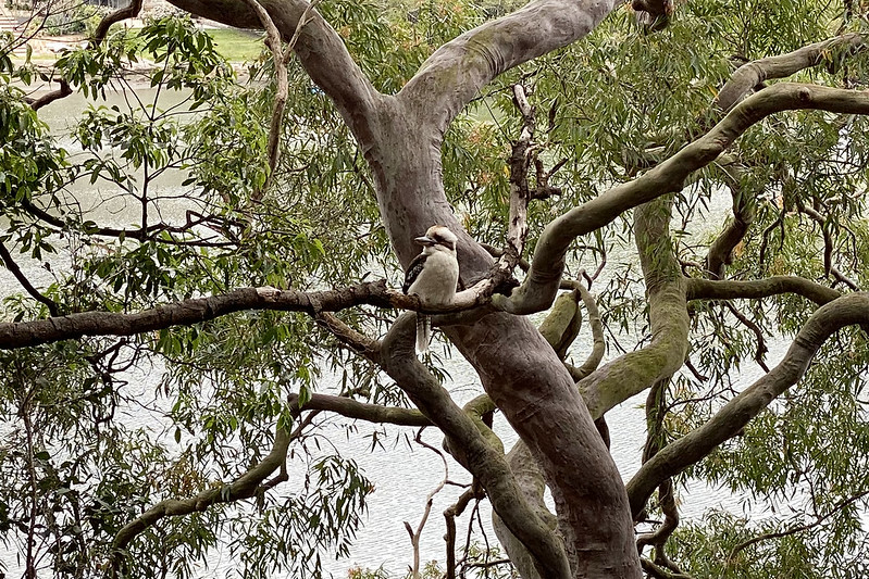
From here the track curved around the shore of the river, passing by this imposing sandstone wall. We spotted a kookaburra in one of the trees:

Kookaburra on Tambourine Bay Track

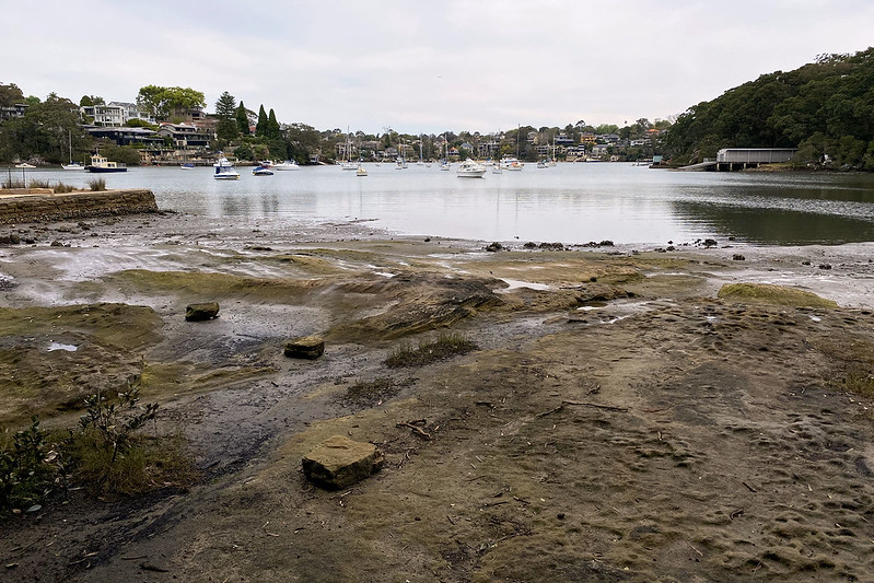
There were lots of birds calling, and I spotted several of them, recording 11 species on eBird. The track emerged on the shore of Tambourine Bay, an inlet of the river.

Tambourine Bay Track

Here there was a grassy picnic area and park, with a few people enjoying socially distanced picnics. We returned back to our car via the streets.

Oh, the other thing I did this afternoon was tried to figure out if I could somehow set up my desktop computer and iPad so that I could draw on my iPad with my Apple Pencil and have it appear in a window that I could share live on Zoom. For my upcoming science classes, I want to be able to draw diagrams while the students watch what I’m doing, and it’d be much easier to draw with a Pencil on iPad than using a mouse on the desktop. I thought I might have to buy some apps or something to enable this.

But after searching briefly, I discovered Apple Sidecar. This is a feature that Apple added to MacOS and iOS two years ago, which lets you connect the two to set up an iPad as an extra screen for your desktop. It’s built right into the operating system. All I had to do was enable it in the desktop preferences, and bingo, suddenly my iPad was an extra screen! I could drag windows across from desktop straight onto the iPad, and work with them there. And, importantly, I could drag a Photoshop window over to the iPad and draw directly into it with my Apple Pencil.

It just worked. More than that, it has cool integration features so that you can access all the critical Photoshop menus and control right on the iPad, without having to select them on the desktop UI.

Within a minute of Googling how to do it, I was drawing on my iPad right into a Photoshop window. And I tested that I could share that window with Zoom – yep, it all just worked! Wow. After many experiences trying to get computer stuff to work, this was a real breath of fresh air. Good job, Apple.

New content today:

A big walk along the harbour shore

With Sydney entering week 12 of COVID lockdown, I’ve now been restricted from travelling more than 5 km from home for getting up towards three months. As last weekend, I scanned the 5 km radius circle centred at my home to see what we could do today. I chose to take my wife and Scully out for a short drive over to Harold Reid Reserve, which is just within the edge of the circle.

Harold Reid Reserve bushwalk

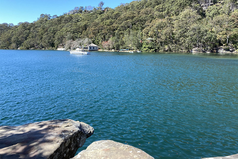
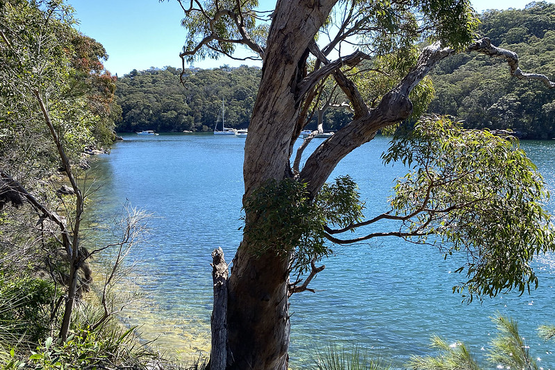
We went early, around 10 am, to avoid the heat of the early afternoon. Like yesterday, today was expected to be very warm, and it ended up reaching 30.1°C, a little hotter than yesterday. Fortunately, much of the walk was shaded by the thick forest. We parked on a street and walked downhill towards the water of Middle Harbour, which is a large inlet off Sydney Harbour. The terrain here is mostly steep slopes down to the water from elevated ridge lines, making it unsuitable for building. Houses cluster on the ridge, but the slopes are mostly left as bushland, threaded with walking tracks.

Harold Reid Reserve bushwalk

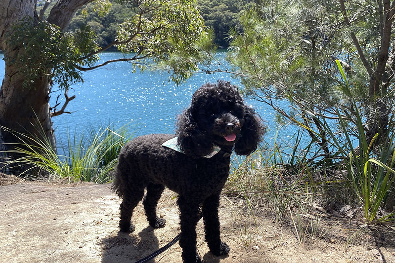
Down at the water the views were beautiful. The sky was clear and cloudless, and the sun burnt down. Scully enjoyed the walk too!

Harold Reid Reserve bushwalk

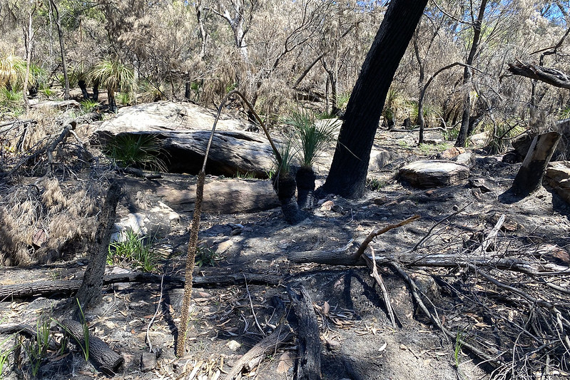
In one spot we passed a slope that had been burnt recently – in a controlled burn to clear the undergrowth and ward off uncontrolled fires during the summer.

Harold Reid Reserve bushwalk

We passed quite a few people also out walking along this track, many with dogs too. Several family groups were out enjoying the unseasonally warm early spring weather. At a few places the track had small branches leading right down to the water, where people could splash in the shallows on a rock shelf, or go for a swim in deeper water.

Harold Reid Reserve bushwalk

Towards the end we began climbing back up the hill to the streets on the ridge above. This gave us longer views across the harbour to the opposite ridges.

Harold Reid Reserve bushwalk

Near the exit from the reserve back to the street, we passed a family with two kids going the other way, and the mother slipped and fell down some rough sandstone steps. She hurt her ankle badly enough that she couldn’t put any weight on it. Her husband and I carried her out through about 50 metres of bush track to the street, where we put her down sitting on a low stone wall while he and their kids went to retrieve their car. I stayed with the woman while she waited, and talked with her to keep her mind off the pain – it was clearly extremely painful as she was almost constantly wincing and groaning. The man returned with the car and I helped him lift his wife into the passenger seat. He said they’d go straight to the nearest hospital.

Her ankle had swollen up quite badly. Hopefully she’ll be okay, and hasn’t broken any bones, although it looked pretty serious. I made it back home with my wife and Scully without further incident.

In other news, today I deleted my Facebook pages for Irregular Webcomic!, Darths & Droids, and Square Root of Minus Garfield. I created them some years ago, but neglected to update them with anything after a few months, and have basically just been ignoring them since. But this past week the Australian High Court made a ruling that made me delete them.

Briefly, someone brought a defamation case against big media companies, who had created Facebook pages and then allowed people to post defamatory comments on them, without moderation. The media companies argued that they were not responsible for comments posted by third parties, on a third party website (i.e. Facebook). This argument went to the High Court, who on Wednesday this week ruled that media companies are publishers of content, even if that content is hosted on a third party site, and they have a responsibility to moderate it. The upshot of this for the defamation case is that the plaintiff can sue the media companies for defamation (that case is now pending, on whether the comments in question were actually defamatory).

But as pointed out in an article today, this ruling means that anyone who creates a Facebook page may be liable for defamatory comments posted on that page by third parties.

Now, if I were actively moderating those pages that I created years ago, I wouldn’t be worried about this, because I’d just delete anything that might be defamatory (as I do with my comic forums). But since I’m not actively moderating them… they have to go.

I’m not sad about this. I actually support the High Court decision. The big media companies had been using their Facebook pages as a shield against taking responsibility for publishing defamatory content on their own websites. It was an easy way out for them. Rather than host their own websites and allow comments and moderate them for defamation, they created Facebook groups, posted news articles there, and let commenters have free rein, trying to dodge any responsibility to moderate defamatory comments. This decision will force them to take that responsibility back, as they should.

In fact, I’m kind of glad that I had a solid prompt to delete those Facebook pages I’d created. They were relics of what seemed like a good idea years ago, but which had long outlived their usefulness. And frankly, any excuse to use Facebook less is fine by me.

New content today: